 Did you know that you can play a tour that follows an invisible path? This is useful if you want create a tour or a movie of a tour that follows a very specific route, but do not want to show a path or any placemarks. Just create a path with the color opacity set to 0% and play a tour that follows that path. Learn more about touring places.
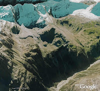
Using the G-Force navigation mode in Google Earth Pro, you can also record a movie that follows your exact horizontal and vertical movements on or above the globe. For example, Frank Taylor of Google Earth Blog created this very cool video that simulates a fighter jet flight in the Swiss Alps (read more).
